1. The Silent Profit Killer: Rework on Construction Sites
Most construction companies don’t lose money because they lack projects.
They lose money because of rework.
Common real-world examples:
- Walls built in the wrong location
- Plumbing installed before electrical inspection
- Incorrect slab dimensions discovered too late
- Disputes over whether work was “already completed”
- Subcontractors blaming each other
- Clients claiming defects that were never there
Industry studies consistently show that rework consumes 5–15% of total project cost.
For small contractors, that can mean the difference between profit and loss.
The core issue isn’t incompetence.
The core issue is lack of reliable visual documentation.
2. Why Photos from Phones Are Not Enough
Many site managers already take photos with their phones.
But that approach has serious limitations:
- Photos are taken randomly
- No consistent angles
- No coverage of the entire site
- Hard to compare week-to-week progress
- No spatial context
- Files scattered across WhatsApp chats
When a dispute happens months later, those photos become useless.
What’s missing is:
Structured, repeatable, site-wide documentation.
That is where drones become extremely powerful.
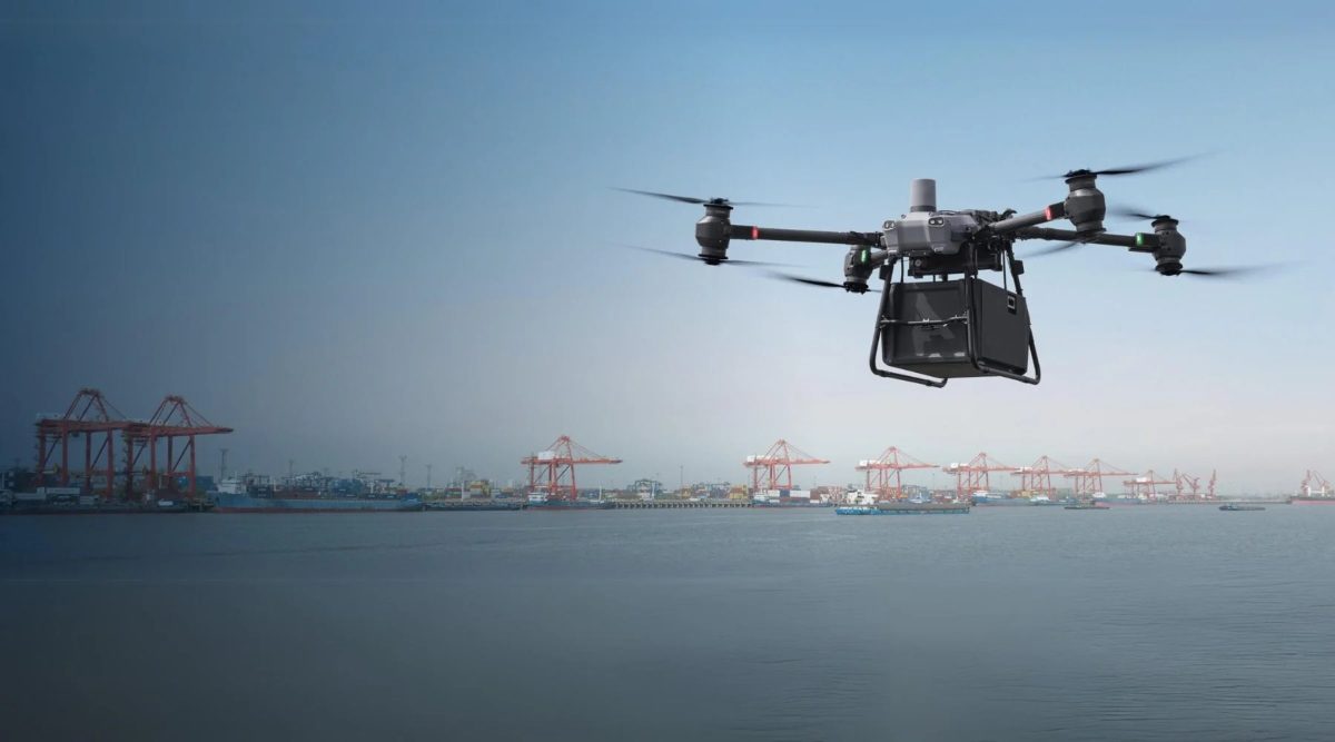
3. Drone Mapping Is Not High-End Technology Anymore
Five years ago, drone mapping felt expensive and complex.
Today, it is neither.
Modern consumer drones such as:
- DJI Mini 3 Pro
- DJI Air 3
- DJI Mavic 3 Classic
are already capable of producing:
- High-resolution aerial photos
- Accurate top-down site maps
- Full project progress timelines
- Orthomosaic maps
- Visual evidence for disputes
All without hiring surveyors for routine documentation.
Cost of entry:
- Drone: $800–$2,000 (one-time)
- Software: $0–$30/month (optional)
This is cheaper than one major rework incident.
4. The Practical Goal (Not Fancy BIM, Just Real Benefits)
You are not trying to build a digital twin.
Your real goals are much simpler and more valuable:
- Capture the entire site visually every week
- Compare progress between dates
- Prove what existed at a specific time
- Detect mistakes early
- Protect yourself against false claims
- Improve coordination between teams
Think of drone mapping as:
A time machine for your construction site.
5. Simple Real-World Workflow That Actually Works
Here is a workflow used by many small contractors successfully:
Step 1: Weekly Standardized Flight
- Fly the drone every Friday afternoon
- Same altitude (e.g. 40 meters)
- Same flight path
- Same camera angle
Consistency is more important than perfection.
Step 2: Capture 3 Key Types of Shots
Each session should include:
- Top-down site overview
- Oblique angle (45°) of entire building
- Close-ups of critical areas (plumbing, rebar, electrical, roofing)
This creates a structured historical record.
6. Turning Photos into Useful Evidence
Raw photos are useful.
But structured data is far more powerful.
You can organize files like this:
/Project_GreenVilla
   /2024-01-05
   /2024-01-12
   /2024-01-19
   /2024-01-26
Inside each folder:
- Overview images
- Key structural zones
- High-risk details
Over time, this becomes a visual timeline of the entire project.
When a dispute happens:
You don’t argue. You show evidence.
7. How Drone Records Prevent Expensive Disputes
Consider this common scenario:
Client:
“This crack was caused by your work.”
Contractor:
“It wasn’t there when we finished.”
Without documentation:
- Long arguments
- Potential legal action
- Reputation damage
With drone records:
- You pull the photo from three weeks ago
- Show the wall before finishing
- Show no crack existed
Dispute resolved in minutes.
This happens regularly in real companies using drones properly.
8. Detecting Mistakes Early (Where the Real Savings Come From)
The biggest value is not legal protection.
It is early detection.
Examples:
- HVAC ductwork crossing into forbidden zones
- Scaffolding blocking drainage areas
- Incorrect roof slope visible from aerial angle
- Missing waterproofing layers before covering
- Improper material storage causing future damage
From the ground, many of these are invisible.
From the air, they are obvious.
Catching a mistake before the next phase begins can save thousands.
9. Real-World Case: Small Residential Builder
Company profile:
- 12 employees
- Builds 8–12 houses per year
- No dedicated QA team
Implementation:
- One DJI Air drone
- Site manager flies once per week
- Photos stored in Google Drive by project
Results after 6 months:
| Metric | Before | After |
|——|——|
| Rework incidents per project | 3–5 | 1–2 |
| Client disputes | Frequent | Rare |
| Average project overrun | 9% | 3–4% |
| Annual cost savings | ~$18,000 | |
All from a ~$1,200 drone investment.
10. Using Drone Data to Manage Subcontractors Better
Another hidden benefit:
Accountability.
When subcontractors know that:
- Every week is documented
- Work stages are visible
- Mistakes are recorded
Behavior changes:
- Better adherence to drawings
- Less corner-cutting
- Fewer “we already finished that” claims
- Higher overall discipline
You don’t need confrontation.
The camera enforces standards automatically.
11. Client Communication Becomes Dramatically Easier
Instead of vague progress updates like:
“Framing is about 70% done.”
You can send clients:
- Aerial image
- Before/after comparison
- Highlighted zones
This improves:
- Trust
- Perceived professionalism
- Referral probability
- Online reviews
Many clients are deeply impressed by something that costs you almost nothing.
12. Legal and Safety Considerations (Simple but Important)
Drone use does require some basic discipline:
- Check local drone regulations
- Avoid flying over public roads
- Avoid filming neighboring properties unnecessarily
- Store client data securely
- Obtain client consent for documentation
Most countries allow small commercial drone use with simple registration.
This is manageable, not a blocker.
13. A 14-Day Implementation Plan for Any Contractor
Day 1–2:
- Choose drone model
- Learn basic flight controls
Day 3–5:
- Test flights on an empty site
Day 6–7:
- Design your photo checklist
Week 2:
- Start weekly standardized documentation
- Create project folder system
- Train one backup person
By the end of week two, your company already operates at a higher professional level than most competitors.
14. Why This Creates Competitive Advantage
Most contractors compete only on:
- Price
- Speed
Few compete on:
- Process
- Transparency
- Documentation
- Risk control
When you can tell clients:
“We provide full visual documentation of your build every week.”
You instantly stand out.
This helps with:
- Winning bids
- Premium pricing
- Developer trust
- Long-term partnerships
Final Thought
Drone mapping is not about technology.
It is about control.
Control over:
- Quality
- Disputes
- Accountability
- Communication
- Costs
The companies that adopt this early gain an advantage that compounds over years.
Not because they fly drones.
But because they see their projects more clearly than their competitors ever will.